2026 Outback Hiking Seasons
Where you are walking will dictate the best season for outback hiking in Australia in 2026, though the majority of travellers would do well to make autumn or spring their choice for an all-round safe option. Daytime is as a rule cooler in the Red Centre from April through September. Further north in WA or the Top End one finds the dry season to be more agreeable; in the Pilbara and Kimberley however, heat, road access and storms have to be factored into any plan.
Thomas Murphy here from Fremantle. I have put in my years on the road with paper maps and long distances between fuel stops and the odd call that seemed like a good idea before the corrugations set in. The outback is not the place for imprecise plans even if it does reward those who have prepared. Good outback hiking preparation matters. Mobile service has a way of vanishing and a track can be deceptively short on the map but rough as guts under the sun when the weather turns.
Cooler Conditions Are Better
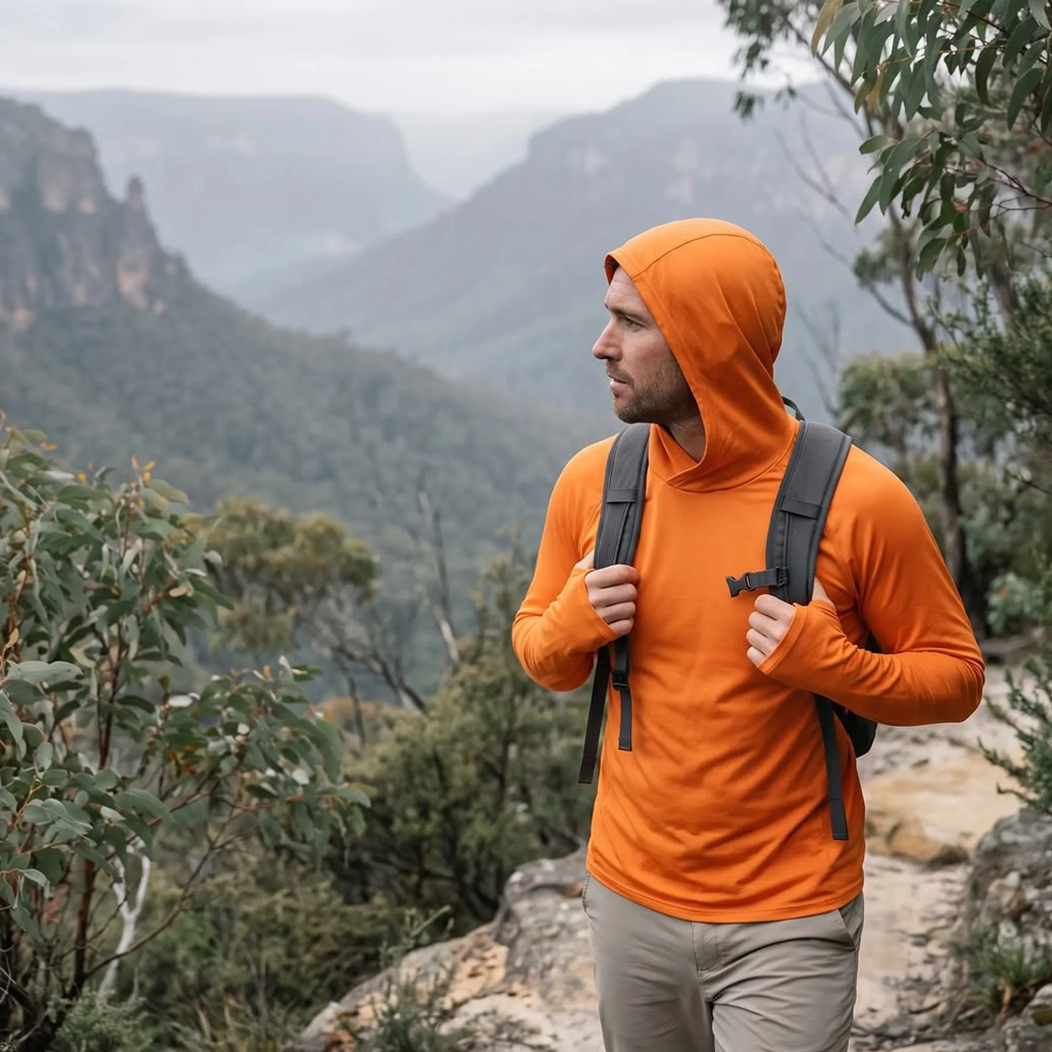
Your destination and fitness level, as well as how much discomfort you are willing to put up with, will determine the ideal season. What is a fine day for a hike in Alice Springs could be hazardous in the Pilbara. Then there are northern tracks off limits in the wet that are first rate once the roads have dried and the park reopens.
Travellers are advised to go for the cooler months where you can get reliable access and have the daylight to make your return without being in a hurry. Do not let an over-optimistic view of your walking pace fool you, the bush does not care.
The Red Centre in Autumn
Uluru, Kata Tjuta, the desert walks around Alice Springs and the rest of the Red Centre are well served by an autumn visit. You may still find it very warm in the afternoons in March but come April and May things are more manageable. It is sensible to be up and about early, red sand and rock will hold the heat.
There are sealed roads and proper walking areas in Uluru-Kata Tjuta National Park but you still require water and protection from the sun and the time to be done before conditions worsen. A walk might not be long on paper but the uneven ground and heat, plus stopping for a few photographs, will make it so.
If you are in for a day, pick one major walk and a shorter scenic or cultural stop. Attempting to tick off every track is a recipe for a sweaty scavenger hunt of a day. Make sure you have a current pass or booking and look at any park alerts.
Clear Days in Winter
For the longer walks in the Red Centre winter is generally most comfortable. Nights and early mornings can be cold for all that the daytime is excellent, so pack some layers, do not think shirt sleeves are a given in Australia.
Demand is higher in the winter at the more popular spots and you will find accommodation and campsites taken up sooner, school holidays in particular. Figures of $20 to $50 a night for a basic site are a good planning guide, as are the steeper prices for a powered caravan spot or hotel, but they should not be taken as set in stone for 2026.
Do not be in a rush because the navigation app says so. A 200-km run on a sealed road is easy enough until a road train or a gravel section and a tyre check puts a dent in your schedule. Have the fuel to get to the next service point you can put your hand on, not just one some old blog mentions.
Northern Dry Season
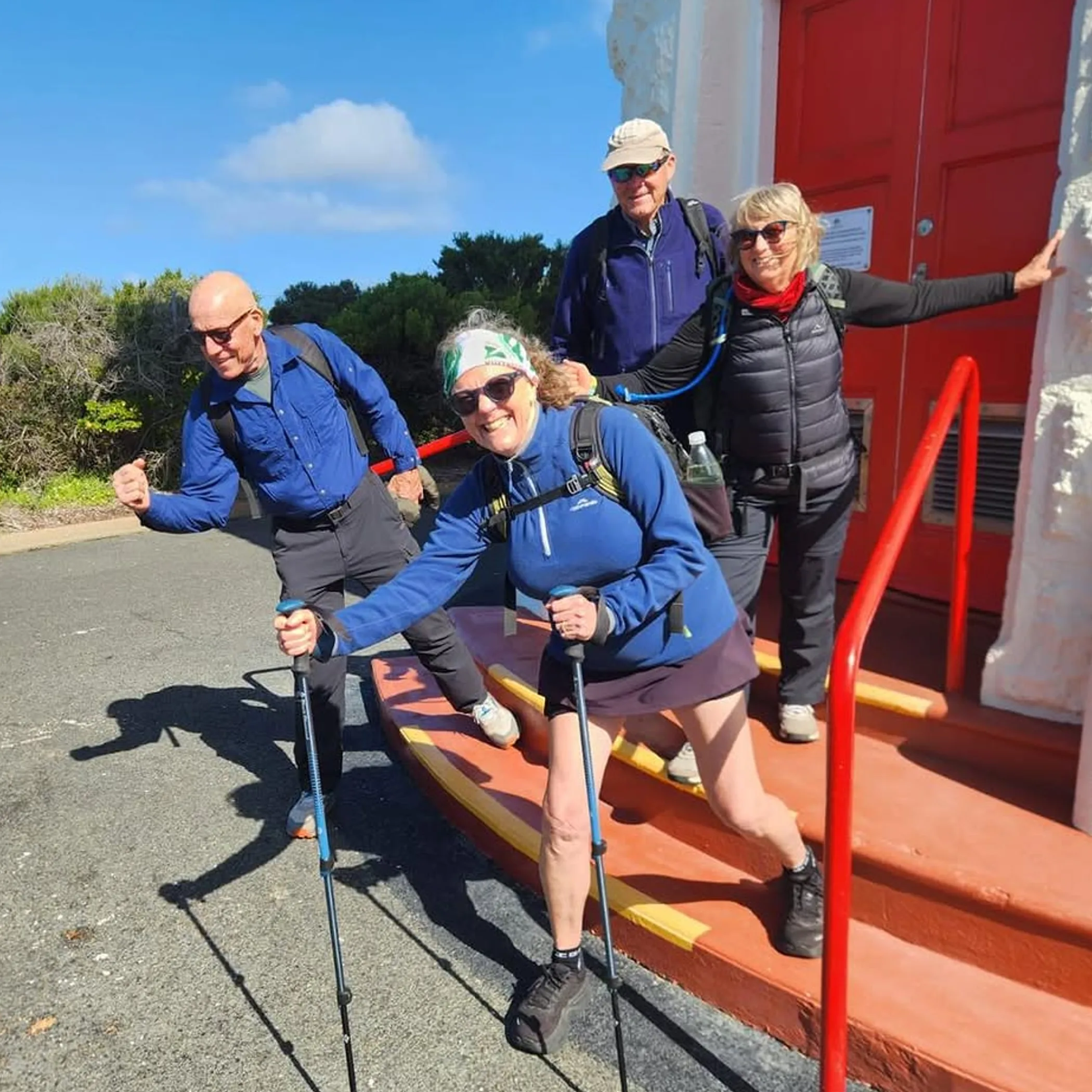
Rain and humidity abate in the Top End and northern WA making the dry season the time to be in the Kimberley. The window is usually May to October but local dates differ and the weeks following the wet can be anything but predictable.
Dry is not synonymous with cool. It is a matter of having firmer tracks and fewer storms to contend with in many places, but dehydration and crocodile risk near waterways are still to be managed.
Timing Matters in the Top End
Exploring Darwin, Litchfield or Kakadu is easier in the dry. An exposed walk will be hot later on so an early start is called for and take your water. Do not mistake a billabong nearby for a swimming hole.
Some of the wet season is spectacular but you may be shut out by flooding, a dangerous crossing or storm damage. From November to April cyclone alerts are in play across the north. To disregard a warning or creek levels in your walking plan is not being adventurous, it is bad organisation.
See what the Bureau of Meteorology has to say in its official forecasts and warnings before you head out. Do not be content with the forecast for the closest large town; look at what is being predicted for where you will actually be walking. In the Outback one has to be flexible in what constitutes “nearby”.
Seasonal Access in the Kimberley
For good walking there is the dry season, when the national parks, waterfalls and gorges are open for it. The Gibb River Road is integral to the Kimberley experience yet no casual way to get from A to B. One’s progress can be hampered by closures, the state of the road or a creek crossing, or even tyre trouble.
The map would have you believe that crossing the Gibb is a straight line to the west, but on my first go in May the road put me to a test of patience. I made sure my spare tyres were in order and I had sufficient fuel, recovery gear and station access before I gave any thought to having the right shirt in my pack.
Allow full days for sections that look close together. A rough road can reduce average speed sharply, and stops at lookouts or creek crossings add up. Some tracks require high-clearance or four-wheel-drive vehicles. Do not assume a hire car is permitted on every road simply because it can physically reach the entrance.
Then there is the matter of heat and storms.
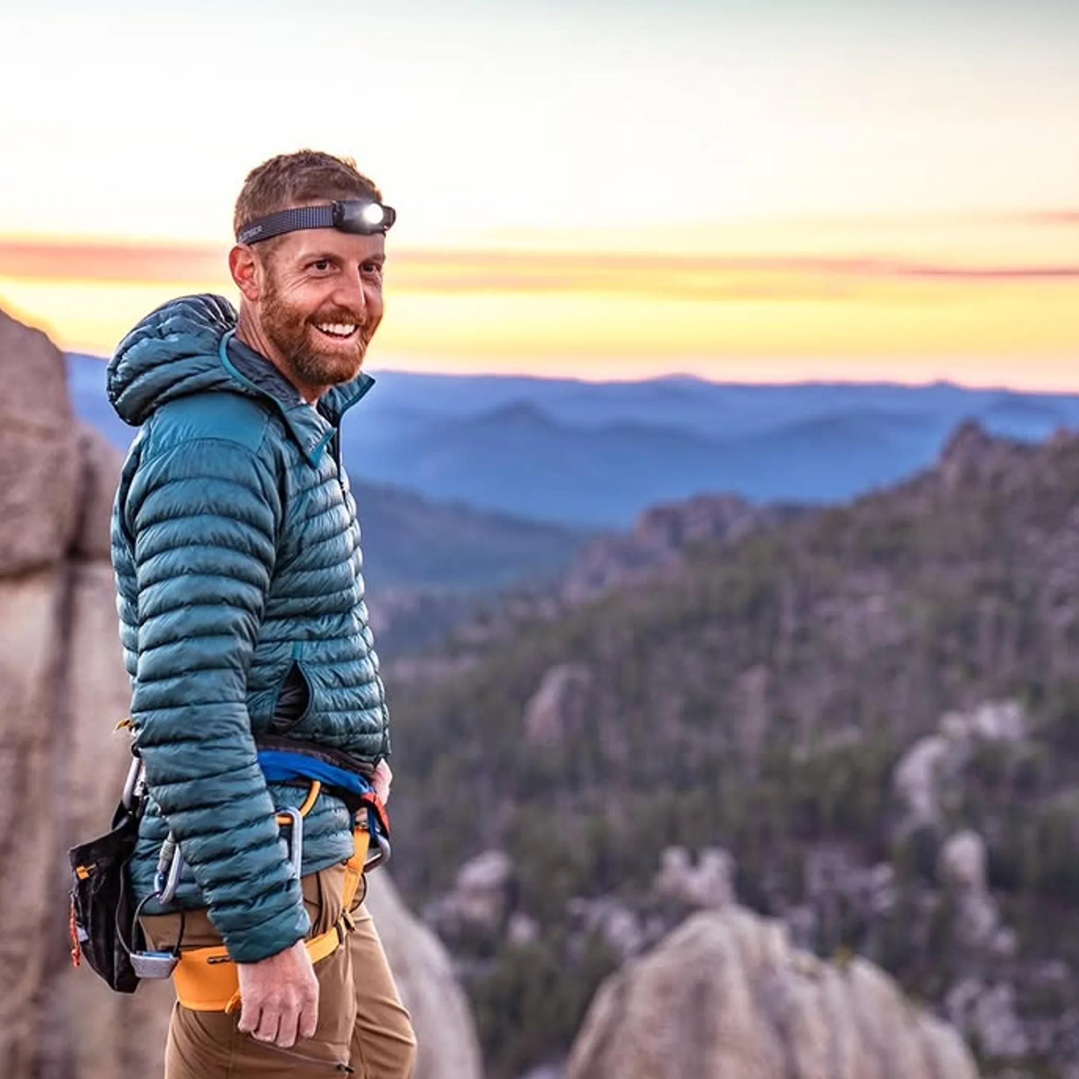
In central and northern Australia hikers are most apt to run into trouble in summer. You have the extreme heat to contend with as well as poor roads, flooding, storms and bushfire closures which impact on access and safety. An experienced walker might still find summer workable in the southern outback, though timing is everything on an exposed route.
Keep to a few practical rules: make an early start, put a time on your turnaround and shun the heat of the day. There is no point in putting yourself on an unknown track in the dark for a sunset.
When Summer is Not an Option
A beginner, a child or an older traveller, not to mention those with heart or respiratory problems, would be unwise to attempt long walks in these conditions. Dehydration can set in quicker than you think if there is no breeze or shade, even for the fittest.
Thirst is not enough of a guide. Have plenty of drinking water on hand and electrolytes, don your broad-brimmed hat and cover up. And let someone know your vehicle details and when you will be back. Should you not return, rescuers cannot do much with “somewhere in the vicinity of the gorge”.
Official alerts should be heeded before venturing onto a remote track; smoke from a bushfire can make for uncomfortable conditions far from the fire itself and visibility is another matter. Closures come and go in a hurry.
Wet weather has a way of altering the track in a matter of hours. A low-lying road may be shut, creeks will be up and the clay turns to sludge. Up north the humidity of the wet season makes even a short distance feel like hard work. Some see a closure as a small nuisance. In fact there may be no other safe route, no place to put in fuel or get to your accommodation. Put some leeway in your plans and a spare day if you can.
Match Routes To Ability
Hiking in the Outback is varied, from a formed walk of a few hours close to the attractions to something over several days that calls for independent judgement and planning. Do not be swayed by the marketing of a route; “easy” could denote a flat, shady path or a remote one without so much as a handrail or a signal. Get past the adjectives and read the fine print.
| Area | Best General Window | Typical Challenge | What to Plan For |
|---|---|---|---|
| Red Centre | Apr – Sep | Exposed terrain, cold nights and heat | Early starts, layers and water |
| Top End | May – Oct | Wildlife, storms, heat and humidity | Water safety and park alerts |
| Kimberley | May – Oct | Heat, creek crossings and the remoteness of the roads | Fuel and a suitable vehicle |
| Pilbara | Apr – Sep | Rocky ground, long hauls and high heat | Emergency planning, shade and navigation |
| Flinders Ranges | Apr – Oct | Steepness, limited services and cold at night | Route timing, weather and a place to stay |
Use This Simple Checklist
A word to the wise before you depart a campsite or town: verify your return plan, the weather and the status of access. This checklist will forestall the kind of trouble most often encountered:
- Have more water than the description of the walk implies, along with the food, sun protection and layers you need.
- Make certain a responsible party knows your whereabouts and expected time of return.
- See to any permits, park passes or Aboriginal land access and note local closures.
- If you are to be driving in remote country, inspect your recovery equipment, spares and tyres.
- And in areas where coverage is a question mark, take a paper map and an emergency device with a charge.
Aboriginal land is not to be entered without the proper permission. There are cultural sites with access that is restricted for a reason, and one should heed the signs put in place. To safeguard the community, the places themselves and those who will come after, it is important to abide by the rules of access.
Remote Travel: A Matter of Budget
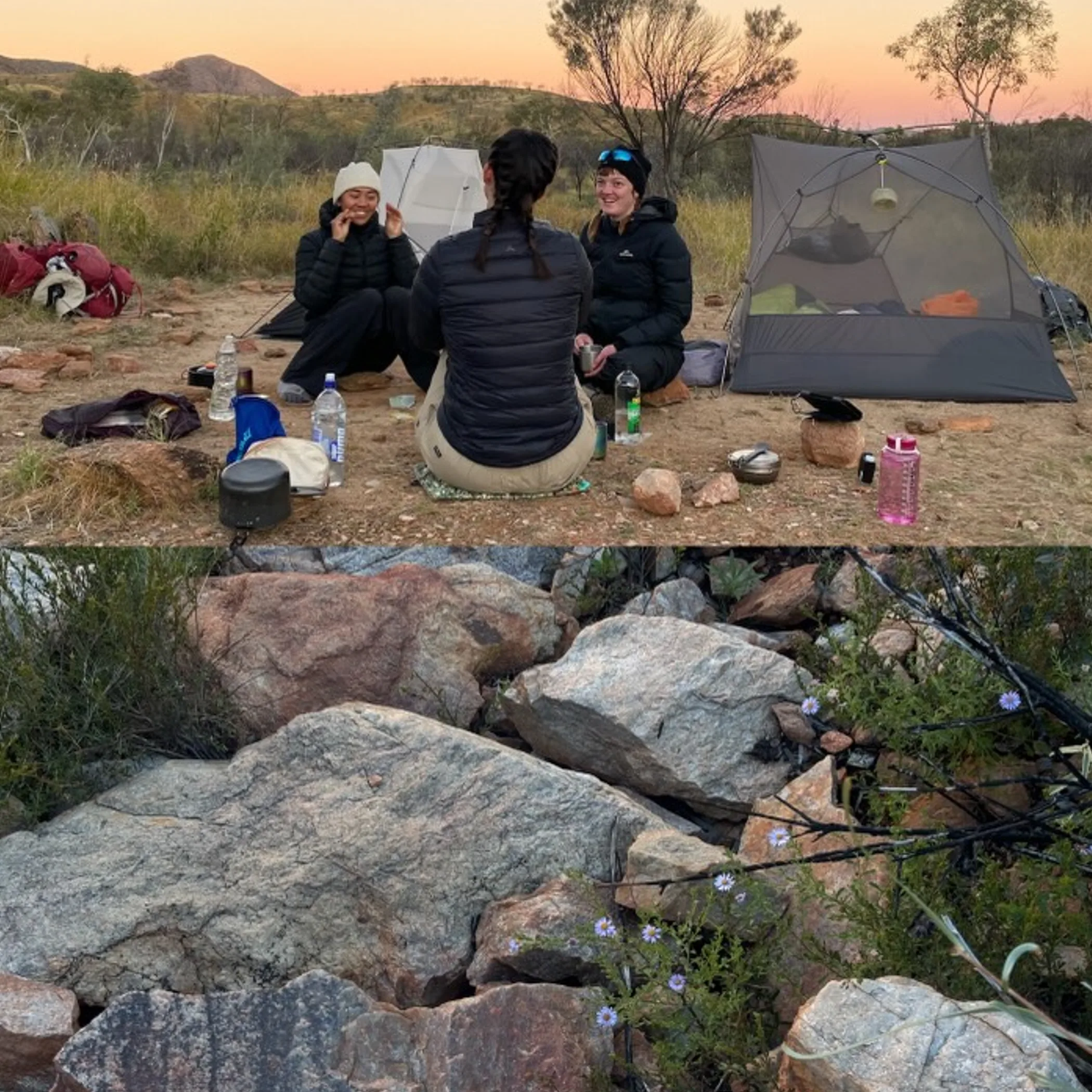
An Outback hike is not as inexpensive as a day’s walking in the city; you have to account for the fact that fuel, transport, provisions and accommodation have to make a long journey to get to you. On a self-drive with two people, fuel prices and the route can run to several hundred dollars in and of itself. Put some aside for remote fuel, an emergency night out, park and campsite fees, food and any repairs the vehicle might need. Provisions from a small roadhouse or community tend to be pricier than what is at the supermarket, so do your stocking up in the larger centres (and don’t take fresh food over quarantine lines).
You can get there by private or hire vehicle, on a guided tour or with regional flights and local transfers. Public transport is hard to come by in most of the outback. While a guide is an added expense, it mitigates the risks of having to plan for emergencies or navigate on your own.
Who Is It For?
We would say these walks are for the type of traveller who does not mind a bit of dust in their socks, an early hour, basic facilities and having to alter plans. They are for those prepared to take local advice and head back if things look poor. Not for anyone who has no patience for carrying water, finds remote driving disagreeable or wants uninterrupted mobile service. The beginner will find plenty to like on a shorter, well-trodden walk near a visitor centre as long as they stay on the marked path and read the signs.
Some Hiking Myths
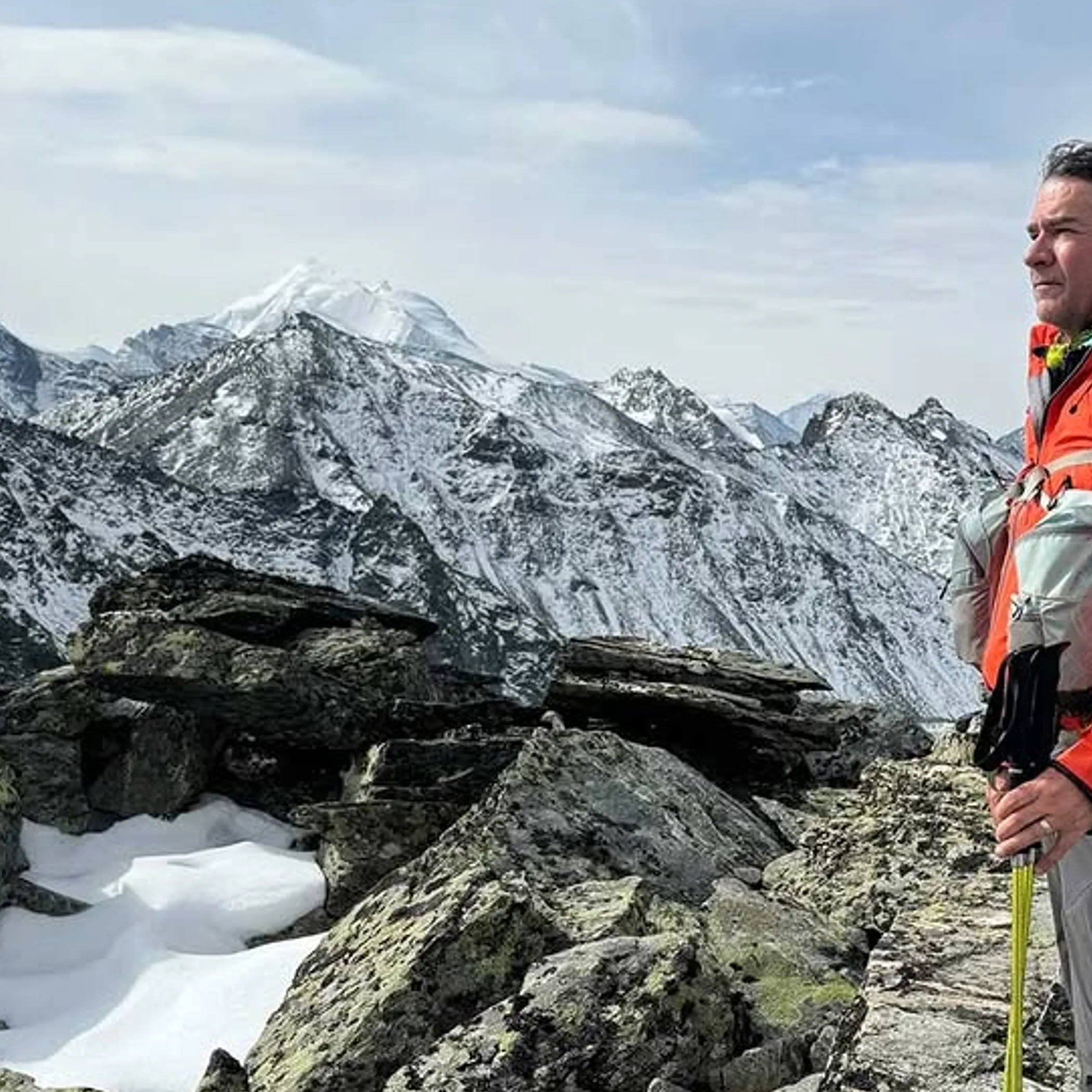
It is thought that the cooler season is an easy walk in the park. In truth, winter can mean icy mornings, cold wind, strong sun and fully booked accommodation. Autumn and spring present fewer hazards but you still have to put in the planning and have your water. Then there is the notion of a short distance equating to a short day. At 4 kph a 20-kilometre trek is five hours, and that is before you factor in the odd stretch of ground, navigation and time for photos. When the heat is on or the terrain is rough, the average is likely to be less.
What Travellers Get Wrong
The return leg is where people make a mistake. A track is fine at 8 am but by 1 pm, with little shade and water running low, it is another matter. Make a turnaround time and hold to it, even if the vantage point seems only a stone’s throw away. And show some respect for the wildlife; a snake or crocodile is part of the environment and not a character in some cheap film. Heed the warnings, put your food away at the camp and stay clear of water where crocodiles are known to be.
A Few Answers For The First-Time Remote Walker
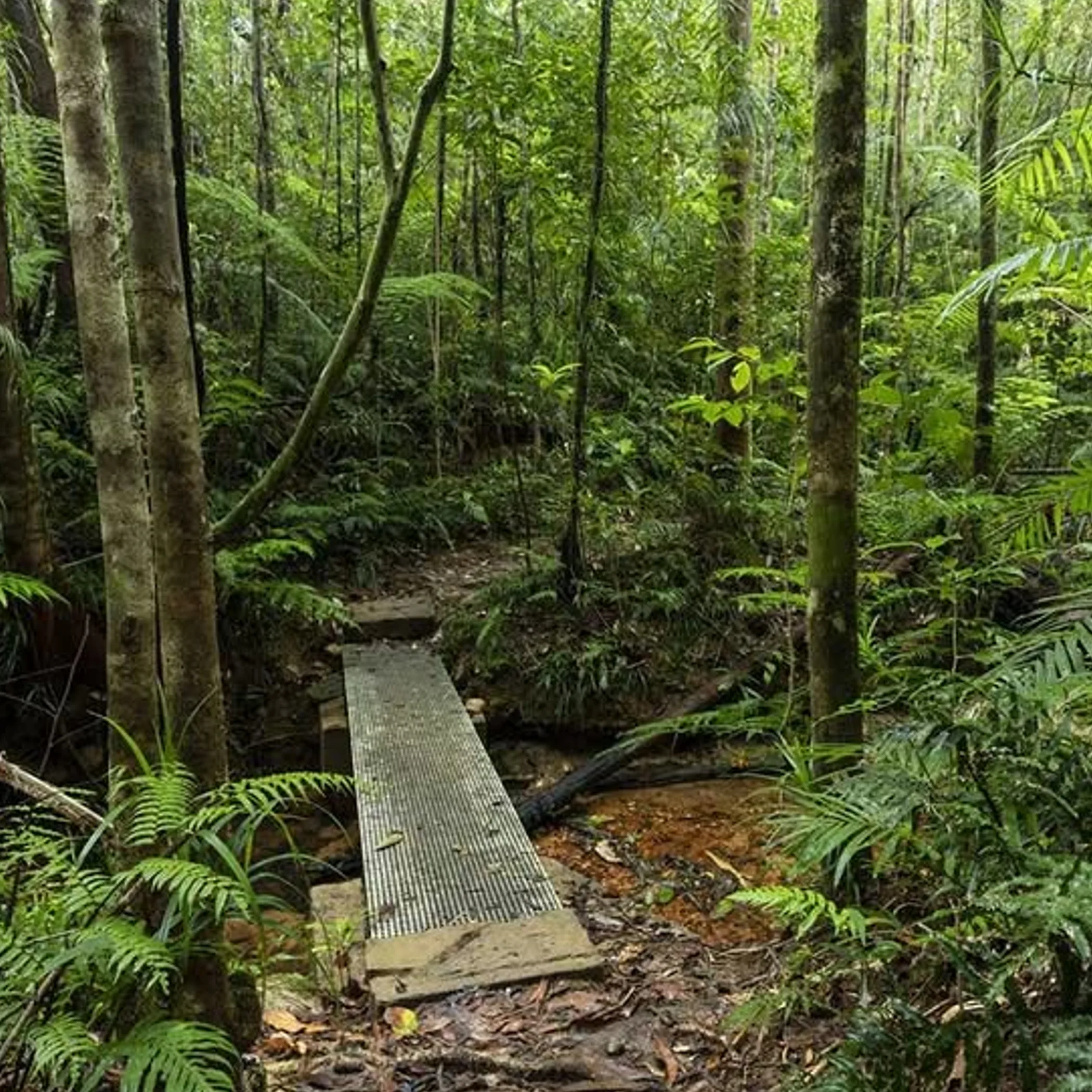
I hear the same questions from travellers making their plans and here are some practical answers. In brief, you will want to be more prepared than bold.
When is the time to go?
For the Red Centre, Pilbara and inland Australia, April through September is a good rule of thumb. In the Top End and Kimberley you will find May to October more workable as it is the drier period. But the weather and state of the routes are the final arbiter.
Is it possible for a novice?
Certainly, provided one sticks to the marked and shorter options in and around established parks. Leave the multi-day remote tracks until you have a handle on navigation and how to manage the heat.
Water requirements?
Enough for the walk, for delays and then some. What is enough is a function of fitness, the temperature and the distance. Do not follow the example of the next person without regard for conditions. If there is no place to top up, you carry it all.
Gibb River Road open year round?
Do not assume so. Between the wet-season rain and roadworks, or temporary closures in the dry, access is variable. Verify your vehicle and hire terms and check with the park.
Four-wheel drive essential?
Not always, though unsealed roads and some approaches call for high clearance and four-wheel drive. A standard car will do on sealed roads but is no use on sand or creek crossings. Let local advice be your guide, not your own confidence.
Making The Most Of The Season
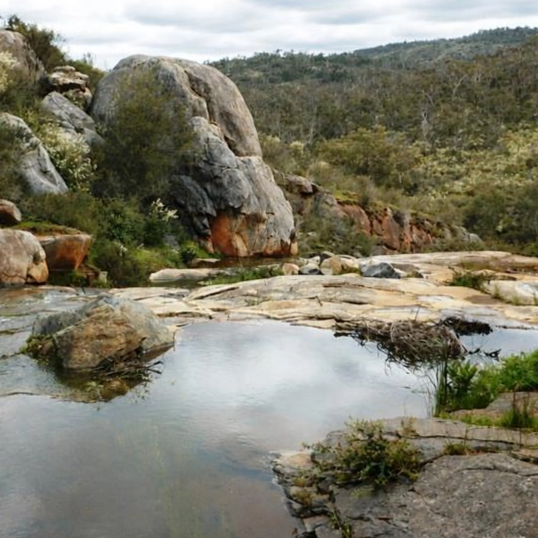
In 2026 the cooler, drier months will be best for the outback: autumn and winter in the Pilbara and Red Centre, the dry season in the Kimberley and Top End. Spring is excellent in parts but the heat comes on fast.
Plan for access as much as the views. See what the conditions are, have your supplies, give due respect to Aboriginal land and its culture and allow yourself the time to turn back. It is not as glamorous as new equipment but a sound preparation is what will see you to a shower and a tinnie you have earned.
